Destination atlas
Countries first.
Start with a country, scan its regions, then open the destinations that fit the route.
Featured countries
Open a country page first
Country pages carry the regional filters, image context, and top destination shortcuts.
Country collection
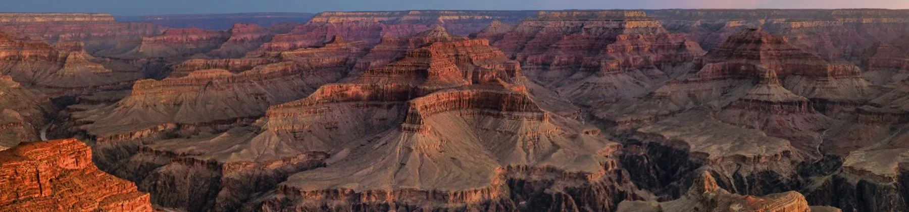
United States
57 regions mapped for country-first planning.
Country collection
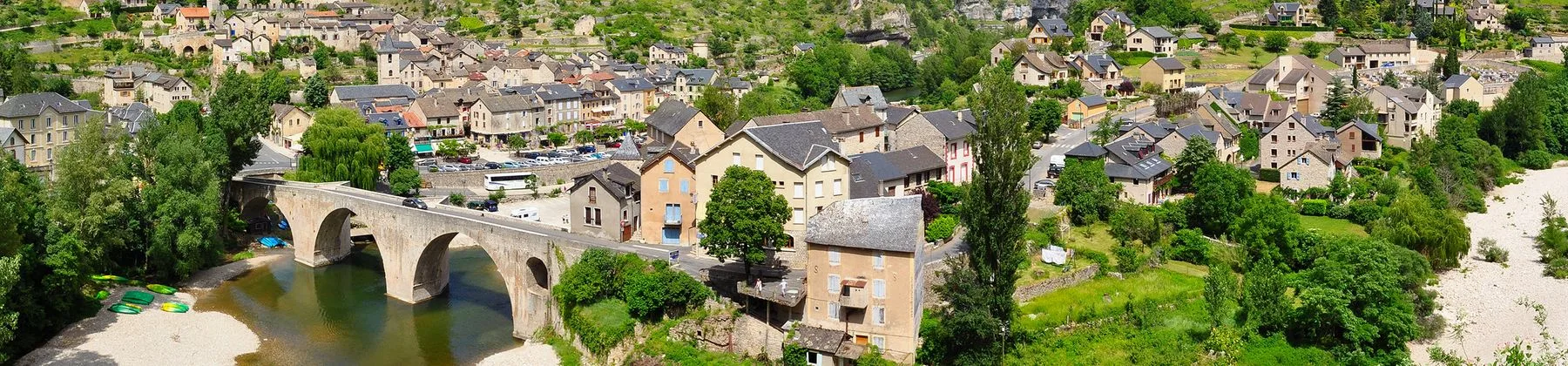
France
225 regions mapped for country-first planning.

Country collection
Italy
519 regions mapped for country-first planning.
Country collection
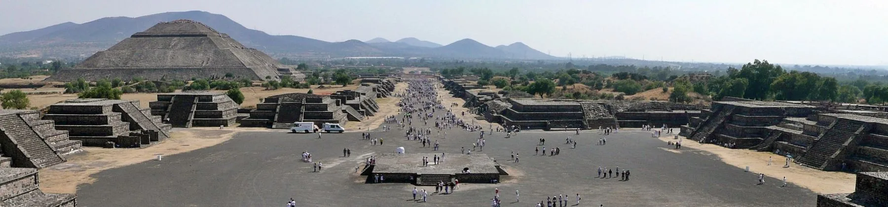
Mexico
50 regions mapped for country-first planning.
Country collection
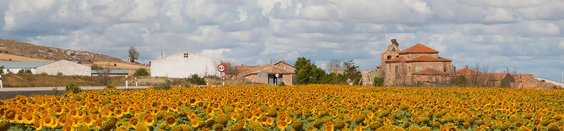
Spain
110 regions mapped for country-first planning.
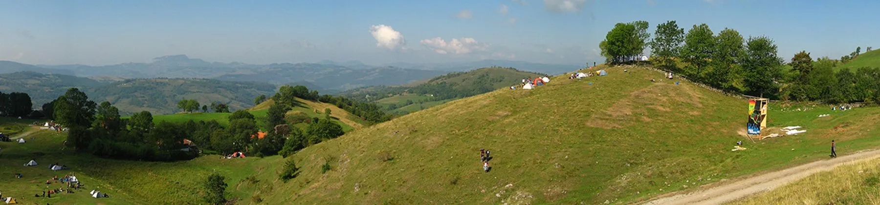
Country collection
Romania
59 regions mapped for country-first planning.
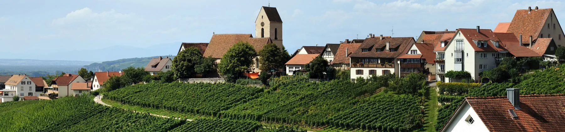
Country collection
Germany
82 regions mapped for country-first planning.
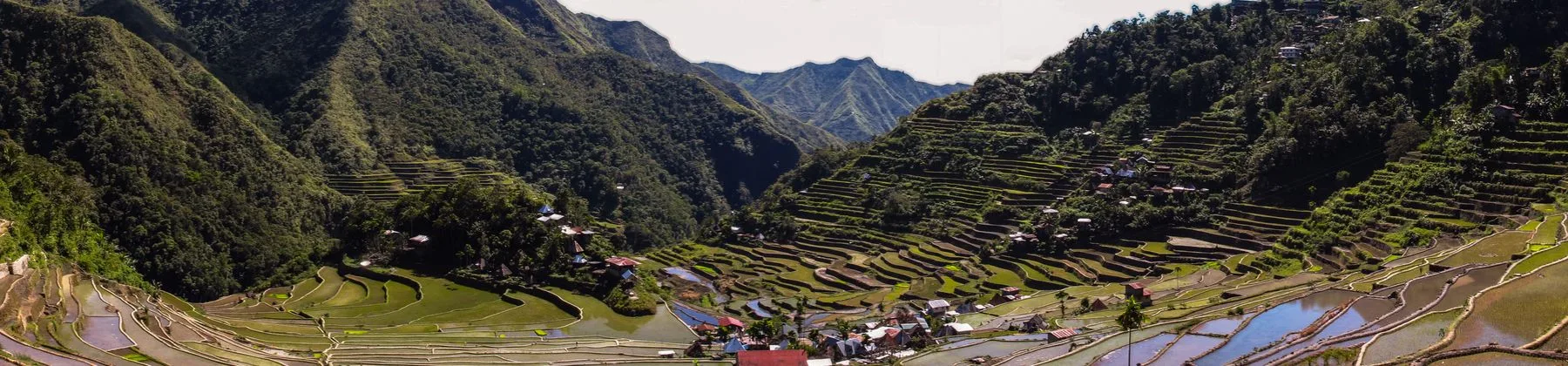
Country collection
Philippines
157 regions mapped for country-first planning.
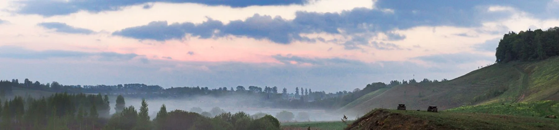
Country collection
Russia
204 regions mapped for country-first planning.

Country collection
Brazil
30 regions mapped for country-first planning.
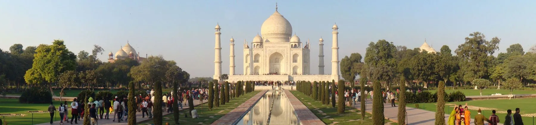
Country collection
India
41 regions mapped for country-first planning.
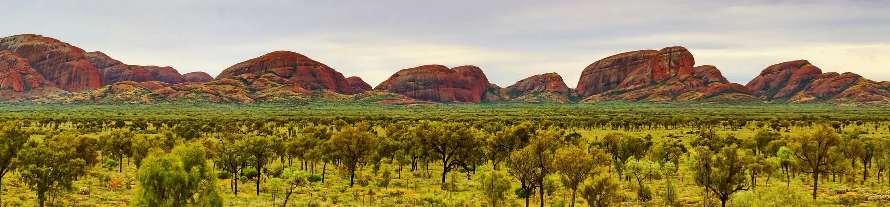
Country collection
Australia
8 regions mapped for country-first planning.
Top destinations
Good first stops

Beggs
Oklahoma
Beggs is a small, tight-knit community located in Okmulgee County in northeastern Oklahoma. The town sits along U.S. Route 75 and State Highway 16, providing convenient road access to nearby cities such as Okmulgee, Tulsa, and Henryetta. Beggs developed during the early 20th century, with a history tied to railroad expansion and the surrounding agricultural and oil-producing landscape of eastern Oklahoma. The community lies within the jurisdictional area of the Muscogee (Creek) Nation, reflecting the broader Native American heritage of the region. As a small rural town, Beggs offers a peaceful, slow-paced environment typical of Oklahoma's heartland, with open prairie landscapes, locally owned businesses, and community events that reflect the area's Southern and Native American cultural influences. Visitors typically use Beggs as a stopover or base for exploring the larger attractions of the Tulsa metropolitan area and the wider Green Country region of Oklahoma.

Caudebec-lès-Elbeuf
Normandie
Caudebec-lès-Elbeuf is a residential commune of roughly 9,000-10,000 inhabitants located in the Elbeuf loop of the Seine River, south of Rouen. Historically an industrial town associated with textile manufacturing in the Elbeuf region, it today functions largely as a residential suburb within the Métropole Rouen Normandie. Its name derives from Norman 'Caudebec' (cold stream). The town offers riverside walks and convenient access to the wider Normandy region, including Rouen's historic center, the Seine Valley, and the Pays de Caux.

Vigasio
Province of Verona, Veneto
Vigasio lies in the Veronese lowlands of the Po Valley, roughly 12 kilometers south of the city of Verona. It is a quiet agricultural town historically notable for its craftsmanship, particularly chair manufacturing, and its Romanesque parish church. Surrounded by farmland and canals, it offers an authentic glimpse of rural Veneto life while remaining well connected to Verona and its attractions.

Valerio Trujano
Oaxaca
Valerio Trujano is a small settlement located in the Sierra Norte region of the Mexican state of Oaxaca. It lies at approximately 17.78°N, 96.98°W in a mountainous area of southern Mexico. The community is named after Valerio Trujano, a hero of the Mexican War of Independence. Detailed, independently verified tourist information about this specific locality is limited, as it is a small rural town rather than a major travel destination.
Añón de Moncayo
Zaragoza
Añón de Moncayo is a municipality of around 250 inhabitants located at the foot of Moncayo, the highest peak in the Iberian System. The village retains traditional stone architecture, narrow streets, and a rural atmosphere, serving as a gateway to the Moncayo Natural Park with opportunities for hiking and enjoying the surrounding oak and beech forests.

Mărășești
Vrancea
Mărășești is a small town in Vrancea County, eastern Romania, situated in the Siret River valley in the Moldavia region. It is best known as the site of the Battle of Mărășești (July–August 1917), a significant Romanian defensive victory during World War I, and hosts the Mausoleum of Mărășești, built between 1924 and 1938 to honor the fallen soldiers. The town's main railway station is an important junction on the Romanian rail network connecting Bucharest with Iași and the northeast.

Schwerin
Mecklenburg-Vorpommern
Schwerin is a historic city in the Mecklenburg region of northern Germany, serving as the capital of the state of Mecklenburg-Vorpommern. The city is celebrated for its picturesque Schwerin Castle (Schweriner Schloss), a Romantic-era palace situated on an island in Lake Schwerin that today houses the state parliament. Schwerin is interlaced with multiple lakes, including the Pfaffenteich in the city center, and is surrounded by extensive parks and woodland. Its Altstadt features well-preserved architecture, including the Schwerin Cathedral, the State Museum, and the Mecklenburg State Theatre. The city blends a quiet, green character with its role as a political and cultural center for the surrounding state.

Vizal Santo Niño
Central Luzon
Vizal Santo Niño is a barangay (the smallest administrative division in the Philippines) located in the Central Luzon region of the Philippines. The area is characterized by rural and agricultural surroundings typical of the Pampanga lowlands, with rice fields, small villages, and local communities. As a barangay rather than a city or municipality, Vizal Santo Niño functions as a community-level settlement with basic local amenities and serves residents engaged largely in farming and small-scale local commerce. Travelers typically pass through the area en route to larger destinations in Pampanga, but the barangay itself offers an authentic glimpse into provincial life in Central Luzon. The local economy and daily rhythms are tied closely to the agricultural calendar, and the community maintains traditional Filipino Catholic customs, including fiestas and religious observances honoring the Santo Niño (Holy Child Jesus).
Krasnoarmeyskaya
Krasnodar Krai
Krasnoarmeyskaya is a rural stanitsa located in the lowlands of the Kuban River basin in Krasnodar Krai, in the North Caucasus Federal District region of southern European Russia. As the administrative seat of Krasnoarmeysky District, it functions as a modest local hub surrounded by agricultural land, including rice paddies, sunflower fields, and other crops typical of the fertile Kuban steppe. The settlement reflects the traditional Cossack heritage of the Kuban, with a community-oriented rural lifestyle, local Orthodox churches, and proximity to the marshlands and floodplains of the Kuban and its tributaries. The surrounding district is known for its natural landscapes, including the Zakubansky woodlands and wetland reserves, making it a gateway for eco-tourism, fishing, and rural experiences rather than a conventional sightseeing destination.

Angico
Tocantins
Angico is a small, rural municipality in the interior of Tocantins, a state created in 1988 from the northern portion of Goiás. The town lies in the northern part of the state, in a region characterized by cerrado vegetation and agricultural land use, particularly cattle ranching and crop farming. It is a quiet, small community typical of the many modest municipalities scattered across Tocantins, with basic services and a predominantly agricultural economy. Travelers passing through the area are mainly en route between larger towns in the state or exploring Brazil's less-visited interior.

Dina Nagar
Punjab
Dina Nagar is a small municipal town in the Gurdaspur district of Punjab, India, situated in the northern part of the state near the foothills of the Shivalik Himalayas and within the broader Punjab plain. It lies close to Pathankot and not far from the international border with Pakistan. The town developed around a railway junction that historically connected northern India with the rest of the country, and retains a railway cantonment. Dina Nagar has a predominantly Punjabi population with a mix of Hindu and Sikh communities, and agriculture and small-scale trade form the local economic backbone. The surrounding landscape combines flat irrigated farmland with the low hills of the Shivalik range, and the region is dotted with villages, small markets, and religious sites typical of rural Punjab. Dina Nagar is best regarded as a transit or rural-immersion stop rather than a mainstream tourist destination, often passed through by travelers heading toward Pathankot, Jammu, or the Dharamshala region.

Noranda
Western Australia
Noranda is a primarily residential suburb located approximately 14 km northeast of the Perth central business district. Developed mainly from the 1970s onwards, it is a quiet, family-oriented suburb characterized by housing estates, parks, and local schools. It lies within the City of Bayswater local government area and is close to the Swan River floodplain areas and the Malaga industrial and retail precinct. Visitors typically use it as a base for exploring the wider Perth region rather than as a destination in itself.
248 countries, grouped alphabetically.
Each country opens into regions and destination cards, matching the country-page flow.
Atlas scale
- Guides
- 133,873
- Countries
- 248
- Regions
- 5,892