Why it belongs here
The Laurel Highlands is a region in southwestern Pennsylvania made up of Fayette County, Somerset County, Westmoreland County, and parts of Cambria and Bedford Counties. It has a population of about 600,000 people.
Source-backed
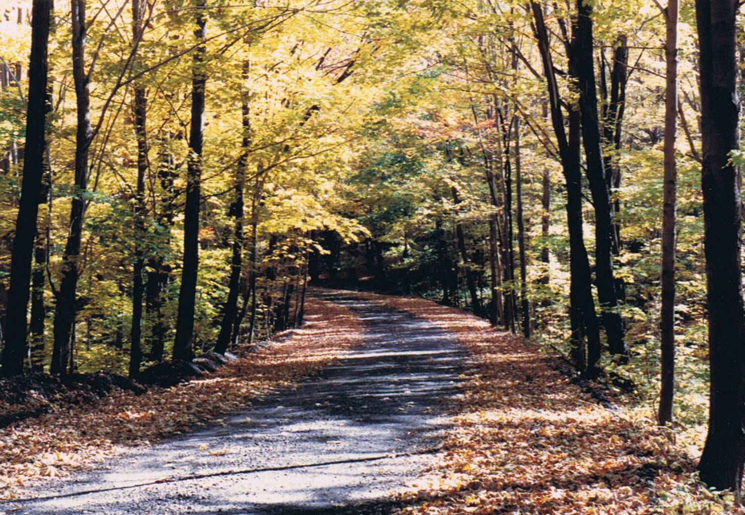
The Laurel Highlands is a region in southwestern Pennsylvania made up of Fayette County, Somerset County, Westmoreland County, and parts of Cambria and Bedford Counties. It has a population of about 600,000 people.
The region is approximately fifty-five miles southeast of Pittsburgh; the Laurel Highlands center on Laurel Hill and Chestnut Ridge of the Allegheny Mountains. The mountains making up the Laurel Highlands are the highest in Pennsylvania, with Mount Davis in Somerset County the highest point in the state at 3,213 feet (979 m).
The Laurel Highlands is a region in southwestern Pennsylvania made up of Fayette County, Somerset County, Westmoreland County, and parts of Cambria and Bedford Counties. It has a population of about 600,000 people.
Source-backed
Check current access, opening rules, and local transport before adding this stop to an itinerary.
Verify locally
Travelpedia hidden-gem signal
5Laurel Highlands is mapped from 3 source signal(s) and destination coordinates.